Terrestrial
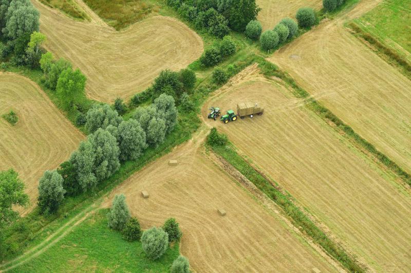
The terrestrial environment is highly impacted by human activities, especially in highly urbanized regions such as Belgium. We need long-term biodiversity data for monitoring our impact on this ecosystem and for nature conservation and protection purposes.
Why do we study Terrestrial
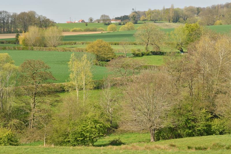
Terrestrial ecosystems comprise a wide range of species, habitats, and ecological interactions and play a critical role in maintaining ecosystem functions such as nutrient cycling, soil fertility, and climate regulation. By collecting data in terrestrial ecosystems, LifeWatch Belgium provides a foundation for comprehensive knowledge about species distribution, population trends, and habitat health.
Additionally, monitoring terrestrial biodiversity allows for the early detection of environmental changes and anthropogenic impacts, such as habitat loss, climate change and the arrival of invasive alien species. This knowledge is vital for developing effective conservation strategies and adaptive management practices. Long term, high-quality terrestrial biodiversity data serves as a crucial resource for scientists, policymakers, and conservationists, facilitating collaboration and informed decision-making. It helps set conservation priorities, allocate resources efficiently, and track the progress of biodiversity initiatives.
What we do in LifeWatch
The LifeWatch terrestrial observatory employs innovative technologies to support biodiversity monitoring and ecological research in terrestrial ecosystems. Our activities are mainly focused on biologging sensor networks supporting movement ecologists and land use mapping using remote sensing techniques. These activities include:
- The GPS bird tracking network collecting data on the migration behavior and habitat use of medium to large-sized birds. Data are published in the community supported repository Movebank and at GBIF.
- Fish tracking using acoustic telemetry gathering data on migration routes, the effects of anthropogenic barriers and habitat selection. Data are stored and analysed in the European Tracking Network (ETN) database and published on GBIF and OBIS.
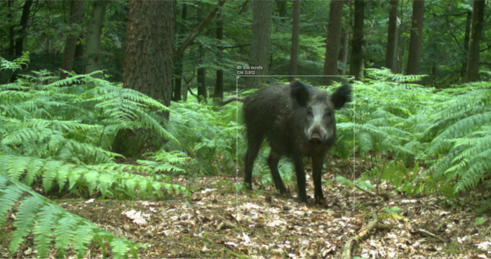
- The camera trap network collecting data on the abundance, distribution, behaviour and temporal activity of medium-to-large mammals. The resulting images are stored and analysed in Agouti and observations are exported to GBIF.
