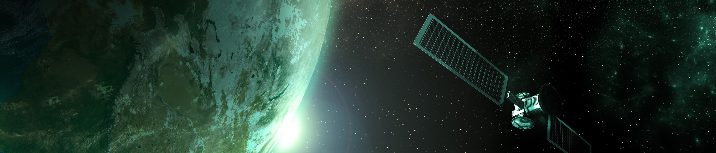
Remote Sensing
Remote sensing uses a variety of sensors carried by UAV, planes, or satellites to gather
information about the surface of the Earth. LifeWatch translates the electromagnetic
signal of these sensors into information about the extent and condition of ecosystems
from local to continental scales.
Remote Sensing
Remote sensing is a non-invasive method to collect information about the surface of the Earth. Sensors carried by aerial or spatial platforms measure physical properties (most of the time an electromagnetic signal) of large areas with a regular revisit time.
LifeWatch uses a large range of the sensors available to derive thematic products about ecosystem extent and condition. The data is analysed using artificial intelligence in order to translate the signal into meaningful geographic information.
We need remote sensing because it provides a complete coverage of large area with a good revisiting time. Even if it does not replace the information collected on the field, remote sensing is the only technology to provide wall-to-wall information on a regular basis. It is most suited to the monitoring of ecosystems, even if some images are also used for the
monitoring of macro-vertebrates or specific plants.


Infrastructure
LifeWatch mainly uses satellite data from the Copernicus program as well as national
geodata distributed by local government in the frame of the INSPIRE directive. These data
are then processed, stored and distributed as harmonised value-added products for
subsequent use in models or decision making. They are combined with other geodata layers for ecological modelling, such as the ecopatches for terrestrial ecosystems or Bio-Oracle in the marine domain.
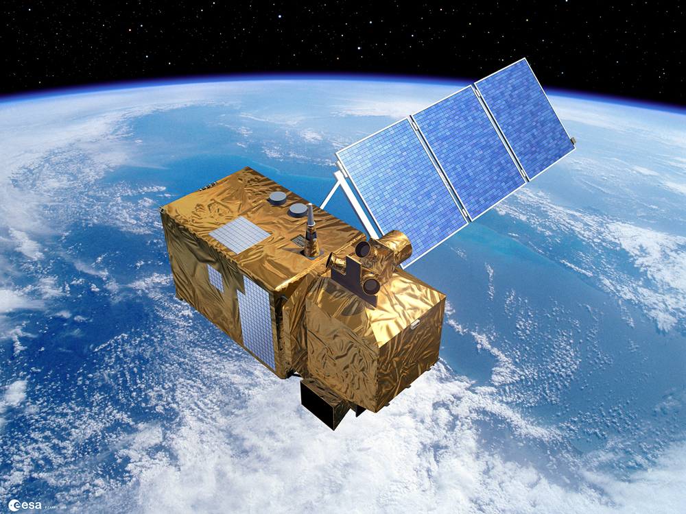
European geodata are derived from the Sentinel-1 and 2 platforms. The sensor onboard
Sentinel-1 is a Synthetic Apterture RADAR which sends and receives microwaves sensitive to the vegetation structure, even through clouds. Sentinel-2 carries an optical spectrometer with 12 spectral bands ranging from the visible colours to the short-wave infrared. Its revisit time of 5 days at our latitude is a key advantage for monitoring the phenology of the vegetation, but not all images are usable because of the opacity of clouds for this wavelength. The spatial resolution of these satellite is between 10 and 20 m.
For national products, optical data of very high spatial resolution is used. This comprises
(bi)annual orthophotos at 25 cm resolution and submetric LIDAR datasets. The orthophotos are based on aerial photographs in the visible colours and near-infrared. They are classified using artificial intelligence to monitor the extent of terrestrial ecosystem. LIDAR is a technology that measures the travel time of LASER pulses to precisely determine the distance to the sensor. It is used the measure vegetation height and to estimate vegetation structure.
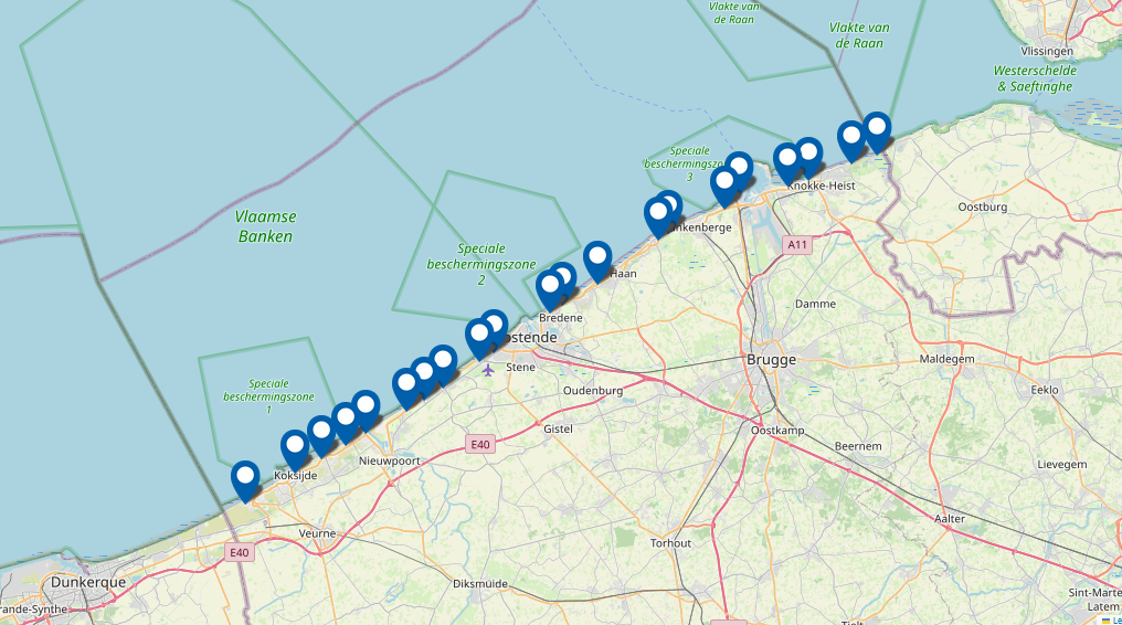
Spatial coverage
Remote sensing potentially covers the whole world, but LifeWatch focuses on Europe for its phenology and land cover product, and on Belgium for the very high resolution mapping.
Data & Services
High Resolution Land Cover
Ecotope & ecopatch datacube
Related stories
Relevant news
-
Ocean Census' search for 100,000 new species will boost WoRMS 
Ocean Census' search for 100,000 new species will boost WoRMS
A new Ocean Census plans major expeditions in all corners of the ocean over the next 10 years, aiming to discover 100,000 new species. In time, the new species will also boost the World Marine Species Register (WoRMS). -
WoRMS and Marine Regions contribute to the OBIS-GBIF Action Plan for Marine Biodiversity Data 
WoRMS and Marine Regions contribute to the OBIS-GBIF Action Plan for Marine Biodiversity Data
Two global data networks have agreed to a joint strategy and action plan that will deepen their collaboration, improve the flows and services of high-quality data about marine and coastal biodiversity, and support research and decision-making on the world's oceans. -
New release of the Bio-Oracle dataset v3 
New release of the Bio-Oracle dataset v3
Bio-Oracle provides environmental data of the world ocean for present and future climate change scenarios. These data are mainly used by Lifewatch users to link biodiversity occurrence data to environmental conditions and predict the future distribution of marine species. The new version offers increased spatial and temporal resolution.