User stories

Get inspired by the different and diverse applications and possibilities! Moreover, you can learn from other users' experiences through documented approaches, workflows, scripts and tutorials.
-
Visualising EU fisheries agreements with Maritime Boundaries for the European Parliament 
Visualising EU fisheries agreements with Maritime Boundaries for the European Parliament
Members of the European Parliament are being brought up to speed on upcoming votes with background materials prepared by the European Parliamentary Research Service (EPRS). In recent EPRS publications concerning EU fisheries agreements, MarineRegion’s Maritime Boundaries are being used to visualise...
-
Assessing the state of the oceans 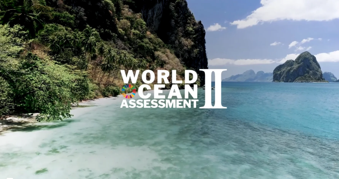
Assessing the state of the oceans
The second World Ocean Assessment – WOA II – is a global exercise by hundreds of marine scientists to evaluate trends and identify knowledge gaps in the world ocean. Two chapters of WOA II have made use of several components of the LifeWatch Species Information Backbone.
-
Observing plankton to understand ocean health 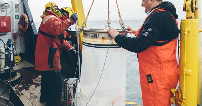
Observing plankton to understand ocean health
Increasing human activities are putting the ocean under stress, threatening the ecological health of marine ecosystems and the services they provide to society. Since plankton are sensitive to changes in environmental conditions and are short-lived, they can be used as early warning systems for the...
-
How Atlantic cod behave to seismic sound exposure - a joint industry project 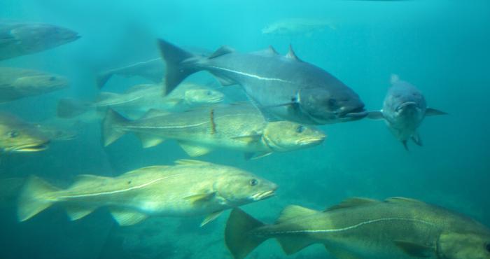
How Atlantic cod behave to seismic sound exposure - a joint industry project
Within the framework of the PCAD4COD project, an integrated set of studies were performed to understand the impact of airgun sounds on fish. This was done through modelling the energy-flow, individual behaviour and population dynamics as well as collecting field data on behaviour, physiology, growth...
-
Using maritime boundaries for legal usage of radio frequency bands (ScanReach) 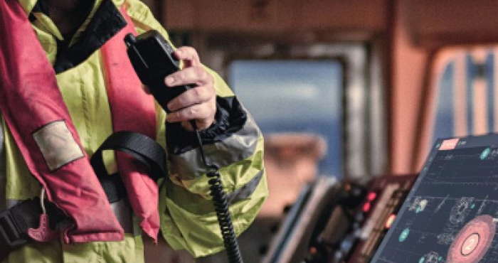
Using maritime boundaries for legal usage of radio frequency bands (ScanReach)
ScanReach is a Norwegian startup company that develops radio communication equipment for on-board wireless connectivity in the marine environment. As ships travel in various national and international waters, they have to conform to each state’s legal requirements regarding the use of frequency...
-
Using Maritime Boundaries as offshore location service (Jan De Nul) Group 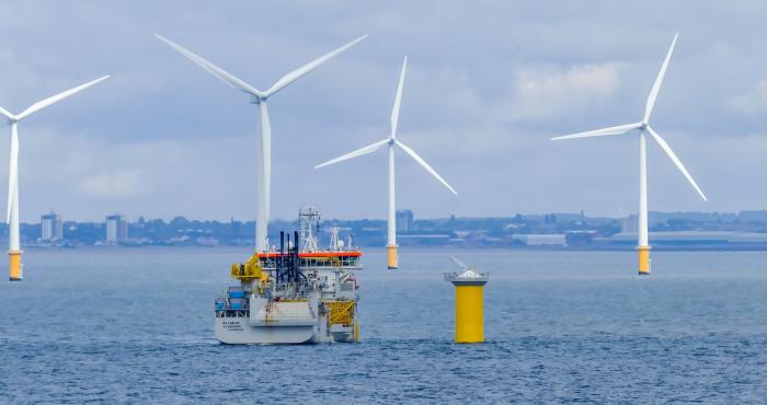
Using Maritime Boundaries as offshore location service (Jan De Nul) Group
Jan De Nul Group is a global player in dredging and marine works. They are using a cluster of services to determine if the position of a ship is within a country's sovereign territorial seas. One of these services is Marine Regions’ Maritime Boundaries.
-
PETROBRAS: where industry and science touch 
PETROBRAS: where industry and science touch
Environmental responsibility is a hot topic these days! For the Brazilian oil and gas magnate Petrobras, this means caring for the safety of their operations and undertaking actions to balance their activities and the welfare of their workforce and of the communities. By improving products and...
-
Augmenting the potential of vessel position data with Maritime Boundaries (MarineTraffic) 
Augmenting the potential of vessel position data with Maritime Boundaries (MarineTraffic)
MarineTraffic displays the movement of over 550.000 vessels worldwide, based on their Automatic Identification System (AIS) signals. The website attracts millions of users on a monthly basis. Since March 31st, these vessel locations can also be plotted against the global Exclusive Economic Zones...
-
How WoRMS and OBIS guided BASF as a lighthouse 
How WoRMS and OBIS guided BASF as a lighthouse
For patent applications and legal issues, it is important for BASF to collect and analyse biodiversity data: where exactly do organisms live, in which environment do they mainly live, what is their genetic code, ...? That is why they called on the expertise of WoRMS and OBIS.
-
Tracking the fish trails 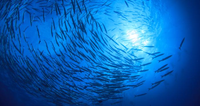
Tracking the fish trails
Understanding the importance of estuarine and coastal areas for the migration of fish and recovery of populations requires tracking a fish’s movement. For this purpose, Pieterjan Verhelst analyses the tracks of tagged Atlantic cod (Gadus morhua) and European eel (Anguilla anguilla), detected on the...