Using Maritime Boundaries as offshore location service (Jan De Nul) Group
Jan De Nul Group is a global player in dredging and marine works. They are using a cluster of services to determine if the position of a ship is within a country's sovereign territorial seas. One of these services is Marine Regions’ Maritime Boundaries.

PETROBRAS: where industry and science touch
Environmental responsibility is a hot topic these days! For the Brazilian oil and gas magnate Petrobras, this means caring for the safety of their operations and undertaking actions to balance their activities and the welfare of their workforce and of the communities. By improving products and...
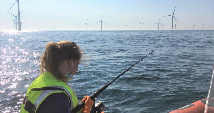
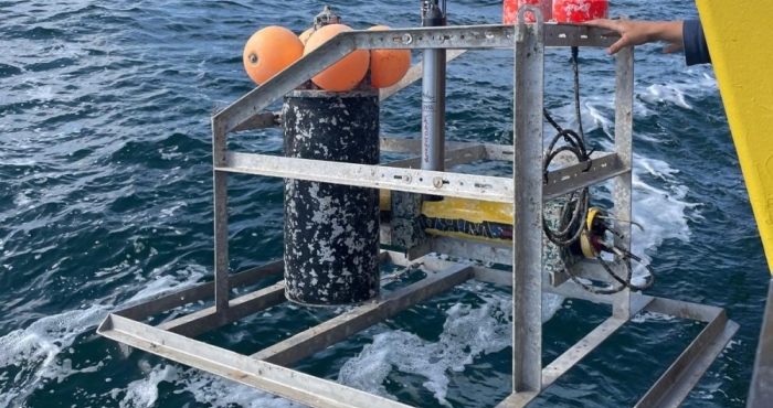
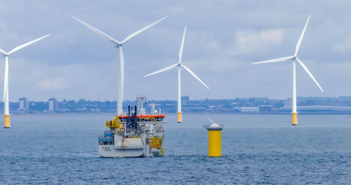
There’s no plaice like an offshore wind farm
Offshore wind farms are built at a high rate in European waters to make the transition towards more green energy sources. Their development takes up marine space that is often not available anymore to other users such as the fisheries sector. This while knowledge on the ecological effects of wind...