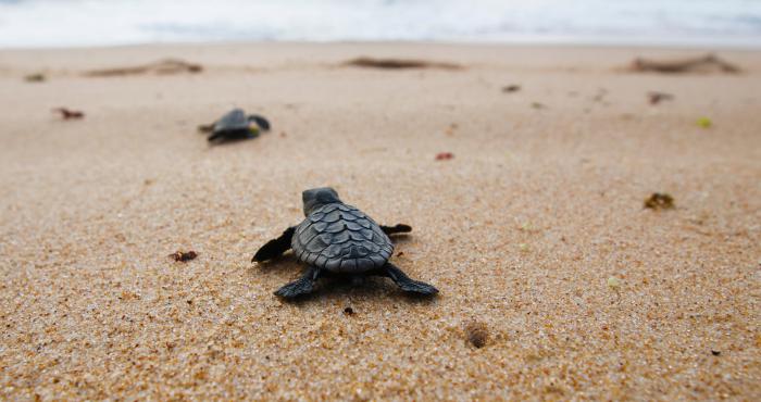
The Big Seashell Survey
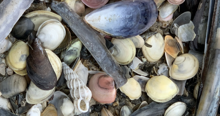
Before the Big Seashell Survey started, there was little quantitative information on the species and numbers of shells that wash ashore at the Belgian coast. However, beached shells can say a great deal about climate change, environmental pollution, impact of human activities at sea and changes in...