

LifeWatch ERIC is hiring
LifeWatch ERIC has opened 4 vacancies for positions at its Service Centre, Lecce, Italy.
Downloading tidal data to understand the behaviour of a migrating eel
A research use case for the R package wateRinfo (published as rOpenSci blog post).
New LifeWatch data loggers for eels are easily retrieved
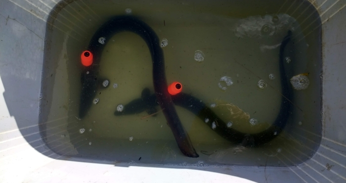
The new, orange coloured data loggers that are used within the LifeWatch program to gain more insight into the migratory routes of the European eels Anguilla Anguilla are easily found by beachcombers and tourists. By putting all captured temperature and depth data together, we will learn more about the behavior of this critically endangered species during its migration through the English Channel.
Launch EMODnet Atlas of European Marine Life
EMODnet Biology is proud to unveil a new and innovative showcase of exemplar marine biological data products.
WoRMS and Alive Fundació sign an MoU
Recently, WoRMS and the Alive Fundació signed a collaboration agreement. The Alive Fundació will use the WoRMS taxonomy for its SeaLife Collection, and WoRMS will be given access to their enormous media database, supporting WoRMS in achieving its goal to have an image available for each marine species.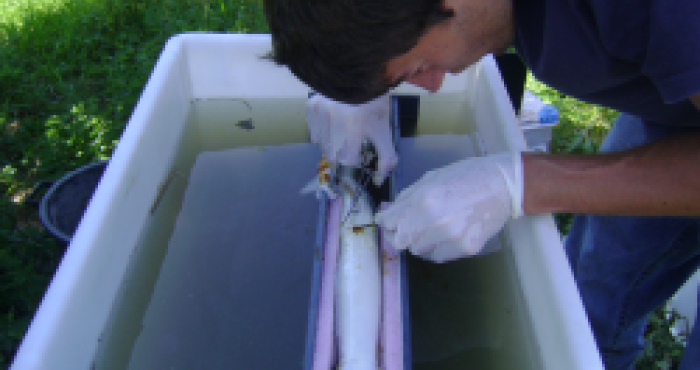
Novel insights on European eel inferred from acoustic telemetry
On Friday December 7th, Pieterjan Verhelst (Ghent University) publicly defended his doctoral thesis entitled: "European eel (Anguilla anguilla L.) movement behaviour in relation to habitat fragmentation - Novel insights inferred from acoustic telemetry".
Belgian LifeWatch observatory data and networks embedded in ‘Kustportaal’
Last Friday, the third edition of Compendium for Coast and Sea was launched. In this document the Flanders Marine Institute (VLIZ) assembles the marine expertise in Belgium. A new feature of this edition is the ‘Kustportaal’, a coastal portal that generates map visualizations of a diverse range of marine themes. The sensor network and different data products of the Belgian LifeWatch observatory are included in this portal.
New telemetry network will develop the study of animal migrations in European rivers and seas
A group of 25 telemetry experts from across Europe is meeting this week in Olhão, Portugal, to implement the European Tracking Network (ETN). This network brings together researchers, resources and infrastructures to increase crucial knowledge on the movements of aquatic animals at large spatial scales – from European rivers and seas to the Atlantic Ocean.