

Data product workshop, VLIZ
From 8-10 October, the EMODnet biology data product experts will meet to discuss new dataproducts and to finilize the first version of the upcoming Atlas Of Marine Life
How to inventory the names of all species on Earth
Marine biologists say they have demonstrated an e-solution to the management of the millions of names of animals and plants on Earth that other biologists could adopt.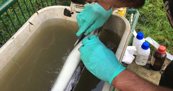
Swimming with the tide: migration behaviour of European silver eel in the Schelde Estuary.
The Belgian acoustic tracking network in the Schelde Estuary reveals for the first time that silver European eels use selective tidal stream transport to migrate in a bioenergetic efficient way to the sea for spawning.
European Marine Board calls for more coherent biological ocean observations in Europe
The latest Future Science Letter No. 3 from the European Marine Board (EMB) - entitled "Strengthening Europe's Capability in Biological Ocean Observations" - reflects the vision of a strategic pan-European forum on the current (and future) capacity and relevance of biological observations in the European seas. In contrast to chemical and physical observations, observation networks on biological parameters in Europe do not appear to be highly organized. There is often a lack of coordination between measurement systems and observations can not be integrated optimally. A multifunctional, well-integrated biological ocean observation system will strongly promote the biological knowledge of seas and oceans - in Europe and worldwide. Something of great importance for maintaining a healthy ocean for a healthy society.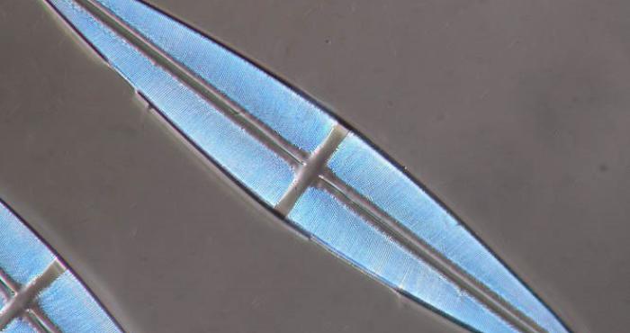
DiatomBase Portal launched!
After more than 2 years of preparations, the DiatomBase portal is now officially launched.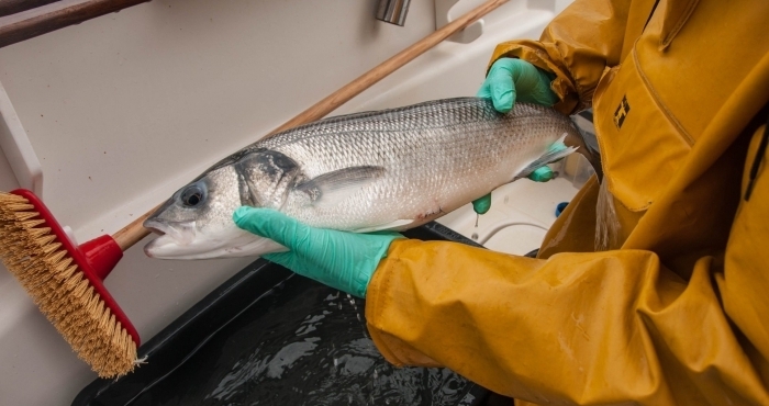
European seabass as test case in innovative acoustic telemetry research
The European seabass is a highly tasted species, loved by sea anglers. Since 2010, this predatory fish suffers from a decline in the southern North Sea. To support the restoration policy, the Flanders Marine Institute (VLIZ) is starting this summer to following seabass with so-called 'combination transmitters'. Special about these transmitters is that they not only register the presence of the fish, but also carry out continuous measurements of water depth and temperature. VLIZ calls on fishermen and beachcombers to keep track of found transmitters and to report them via info@lifewatch.be.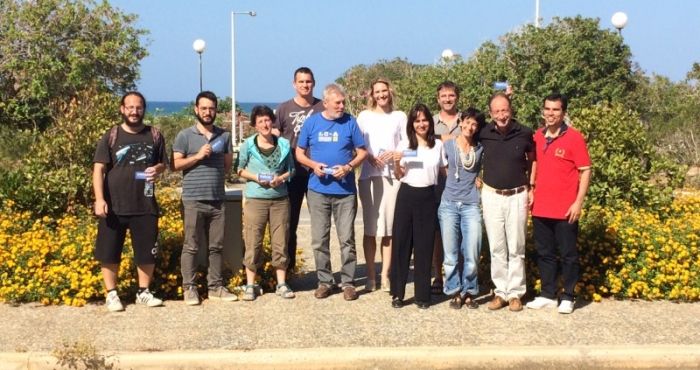
Talitraits: Feeding the Talitridae species in WoRMS with a variety of ecological information
Last week - on May 30 and 31st – 8 thematic experts on Talitridae came together for the first time during a LifeWatch-WoRMS sponsored workshop. The workshop took place at the Hellenic Centre for Marine Research in Crete, where it was organized back-to-back with the 8th International Sandy Beaches Symposium (ISBS). The group focused on identifying relevant traits for the Talitridae, and adding this data through the Amphipoda Species Database.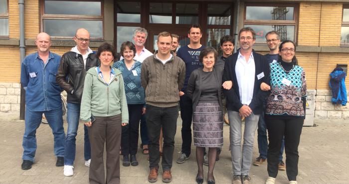
WRiMS: reporting introduced species in WoRMS 2.0
On 23 April 2018, a number of editors of the World Register of Introduced Species (WRiMS) started a three day workshop in the Flanders Marine Institute (VLIZ). These three days were used to evaluate, complete and improve the content of this WoRMS thematic register (TSD).