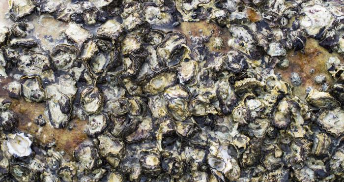
To settle or not to settle? Oyster larvae settlement cues investigated
The inclusion of ecosystem engineers in coastal planning is an approach being considered to mitigate coastal erosion in different environments worldwide. Oysters are reef building and can alter and improve their habitat acting as a barrier for coastal protection by sediment stabilization and wave...