You are here
Augmenting the potential of vessel position data with Maritime Boundaries (MarineTraffic)
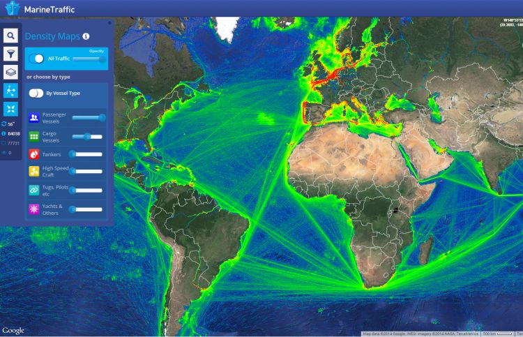
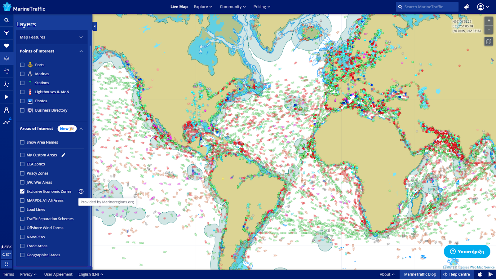
MarineTraffic displays the movement of over 550.000 vessels worldwide, based on their Automatic Identification System (AIS) signals. The website attracts millions of users on a monthly basis. Since March 31st, these vessel locations can also be plotted against the global Exclusive Economic Zones (EEZs), a dataset provided by MarineRegions.
Keywords: MarineTraffic, AIS, vessel, position, boundaries, Exclusive Economic Zones.
MarineTraffic
MarineTraffic is the world’s leading provider of ship tracking and maritime intelligence, dedicated to making actionable information about shipping, easily accessible. With over 700.000 registered users and more than 6 million unique visitors to its site monthly, it has become the go-to source for ship tracking data, used daily by maritime professionals, commodity traders, the global media and shipping enthusiasts around the world.
Objectives
MarineTraffic seeks to improve its registered user’s situational awareness and customization options. For this, the live map is equipped with supplementary functionality, such as advanced vessel filters based on ship type or capacity. Additionally, the position of a vessel in relation to legal, physical or other boundaries at sea could also be of great interest to the users of MarineTraffic.
Methodology
Recently, MarineTraffic has added several layers with areas of interest to its live map. These areas of interest include piracy zones, traffic separation schemes and offshore wind farms. The latest addition to this series of layers is the Exclusive Economic Zones (EEZ) provided by MarineRegions. This layer indicates those areas of the sea in which a coastal state has specific rights regarding the exploration and use of marine resources. The display of these boundaries in MarineTraffic significantly enhances the analysis possibilities for the MarineTraffic users and enables geofencing of vessels to all those areas. Moreover, MarineTraffic also uses this layer to produce entry/exit events and notifications based on the EEZ polygons.
Used components of the LifeWatch Infrastructure
MarineRegions
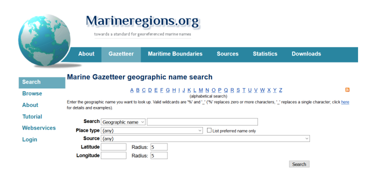
The purpose of Marine Regions is to create a standard, relational list of geographic names coupled with information and maps of the geographic location of these features. This improves access and clarity of the different geographic, marine names and allows an improved linking of these locations to databases to integrate biodiversity data, for example.
Marine Regions is also providing the world’s EEZ boundaries. In the past decade the number of users has increased from a few hundred to more than one hundred thousand unique visitors per year. The Marine Region’s Maritime Boundaries and its unique identifier have become a standard for many users from academia, industry, and civil society. Today, the Maritime Boundaries dataset is used in various ways such as a geographic backbone for the World Register of Marine Species, as a geo-unit to calculate fishing activities, or as an assessment unit for the health of our ocean.
Output
News and outreach
- https://www.facebook.com/MarineTraffic
- https://www.linkedin.com/company/marinetraffic/mycompany/
- https://twitter.com/MarineTraffic
- https://www.instagram.com/marinetraffic/
- https://www.marinetraffic.com/blog/
Contact
Useful links
Image credits
- MarineTraffic