Visualising EU fisheries agreements with Maritime Boundaries for the European Parliament
eu flags

Visualising EU fisheries agreements with Maritime Boundaries for the European Parliament

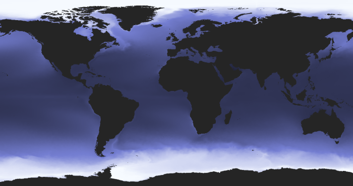
Members of the European Parliament are being brought up to speed on upcoming votes with background materials prepared by the European Parliamentary Research Service (EPRS). In recent EPRS publications concerning EU fisheries agreements, MarineRegion’s Maritime Boundaries are being used to visualise...

EurOBIS celebrates its 20th anniversary with a super-harvest!
20 years EurObis

EurOBIS celebrates its 20th anniversary with a super-harvest!

Over its 20 years’ existence, EurOBIS formed alliances with European initiatives as a supporting infrastructure and network. Major milestones include EurOBIS serving as the data backbone of the European Marine Observations and Data Network Biology (EMODnet Biology) since 2009 and being part of the central Species Information Backbone of LifeWatch since 2014.
Ocean Census' search for 100,000 new species will boost WoRMS
Ocean Census

Ocean Census' search for 100,000 new species will boost WoRMS

A new Ocean Census plans major expeditions in all corners of the ocean over the next 10 years, aiming to discover 100,000 new species.  In time, the new species will also boost the World Marine Species Register (WoRMS).
New release of the Bio-Oracle dataset v3

New release of the Bio-Oracle dataset v3

Bio-Oracle provides environmental data of the world ocean for present and future climate change scenarios. These data are mainly used by Lifewatch users to link biodiversity occurrence data to environmental conditions and predict the future distribution of marine species. The new version offers increased spatial and temporal resolution.
Finding Ocean Health in a sea of data
waves

Finding Ocean Health in a sea of data

Ever wondered how the Ocean Health Index gets data for its global assessment of the entire ocean? There's more to it than you'd guess! And Marine Regions is part of the answer!

Using maritime boundaries for legal usage of radio frequency bands (ScanReach)
scan reach employee

Using maritime boundaries for legal usage of radio frequency bands (ScanReach)

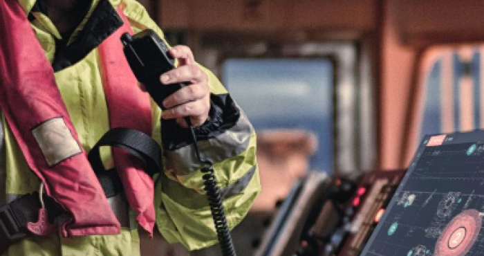
ScanReach is a Norwegian startup company that develops radio communication equipment for on-board wireless connectivity in the marine environment. As ships travel in various national and international waters, they have to conform to each state’s legal requirements regarding the use of frequency...

Using Maritime Boundaries as offshore location service (Jan De Nul) Group
ship in wind farm

Using Maritime Boundaries as offshore location service (Jan De Nul) Group

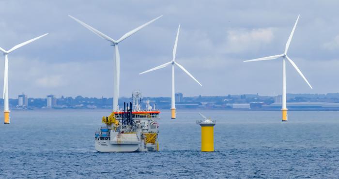
Jan De Nul Group is a global player in dredging and marine works. They are using a cluster of services to determine if the position of a ship is within a country's sovereign territorial seas. One of these services is Marine Regions’ Maritime Boundaries.

Augmenting the potential of vessel position data with Maritime Boundaries (MarineTraffic)
speed boat

Augmenting the potential of vessel position data with Maritime Boundaries (MarineTraffic)

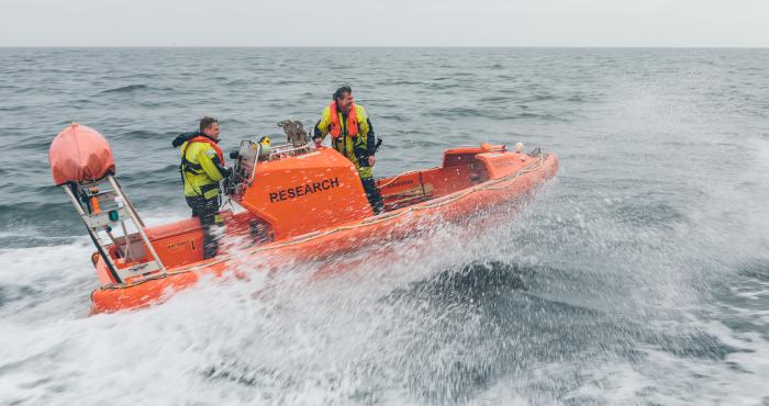
MarineTraffic displays the movement of over 550.000 vessels worldwide, based on their Automatic Identification System (AIS) signals. The website attracts millions of users on a monthly basis. Since March 31st, these vessel locations can also be plotted against the global Exclusive Economic Zones...

How WoRMS and OBIS guided BASF as a lighthouse
Nubble Lighthouse

How WoRMS and OBIS guided BASF as a lighthouse

For patent applications and legal issues, it is important for BASF to collect and analyse biodiversity data: where exactly do organisms live, in which environment do they mainly live, what is their genetic code, ...? That is why they called on the expertise of WoRMS and OBIS.