You are here
Unmanned Aerial System (UAS)
Infrastructure
The Research Institute for Nature and Forest (INBO) has a mandate to monitor Natura 2000 habitats in Flanders. Remote sensing by aircraft and satellite has helped to conduct vegetation monitoring more efficiently, but these methods have their limits in flexibility and image resolution. To obtain more high-resolution and season specific image data of vegetation changes in Natura 2000 habitats, the INBO carried out flights with the Gatewing X100, an Unmanned Aerial System (UAS). This lightweight aircraft flies on autopilot at high speed and low altitudes, and is equipped with an RGB or Near-Infrared camera. This allows the researchers to photograph at very high resolution (pixel size up to 5x5 cm) and several times a year, even in windy or cloudy weather. The analysis of the resulting images is facilitated by using object-based image analysis software.
The INBO carried out 38 flights with the UAS in 2015 and 2016, taking high resolution images of four nature reserves (Zwin, Kalmthoutse heide, Averbode Bos & Heide and Landschap De Liereman) and one agricultural field (in Eigenbilzen for quantifying damage caused by wild boar).
From April 10th 2016 onwards, a new Royal Decree came into force with stringent regulations for the use of unmanned aircrafts in Belgian airspace. These regulations include training, permissions, logbook keeping, insurance, restricted flight zones and altitudes. In addition to having to comply with these regulations, the Gatewing X100 UAS has an operational flight altitude that is outside the scope of the Royal Decree, which means additional permissions are required. Given the high costs associated with complying with the new rules, and the expected arrival of commercial providers under the new rules, further investments in this project have been discontinued and the data and images taken in the previous years have been made available in 2019.


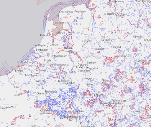
Top: Deploying the Gatewing X100 (©INBO) - Bottom: Natura 2000 sites in Belgium (Source: http://natura2000.eea.europa.eu/)
Data processing, storage and publication
The raw remote sensing data collected during the 38 flights were processed to digital surface models (DSMs) and orthophotos by the Flemish Institute for Technological Research (VITO). Images with coarse GPS coordinates were imported and processed in a structure-from-motion (SfM) based photogrammetry software program (Agisoft PhotoScan Pro 1.4.x). After extraction and matching of tie points, a bundle adjustment leads to a sparse point cloud and a refined set of camera position and orientation values. Ground control points (either artificially installed markers on the terrain, or other photo-identifiable points, measured on the ground with RTK GNSS) were used to further refine the camera calibration and obtain a pixel-level georeferencing accuracy. From there, a point cloud densification and classification into ground and non-ground points was performed, leading to a rasterized digital surface model (DSM) and digital terrain model (DTM). Finally, a true orthomosaic was projected onto the DTM.
Both raw and processed data were archived on AWS S3 as open data by the INBO for further use by the scientific community. To allow easy exploration of the data (e.g. in QGIS), cloud optimized GeoTIFFs were created for each processed file as well. Orthophotos are available in the RGB (red, green, blue), CIR (color-infrared) or multispec (multispectral) image spectrum.


Top: Orthophoto (RGB spectrum) in the Biezenkuilen zone at the Kalmthoutse heide - Bottom: Close-up (CIR spectrum) taken in the Kleyne vlakte zone at the Zwin showing grazing sheep and cattle and a White stork flying over.
GeoTIFF files of the processed DSMs and orthophotos can be directly loaded in GIS software from the Amazon S3 bucket using weblinks. An overview document compiles all data files collected with the UAS and provides URLs for loading the processed images in GIS software.
Raw flight data, processed data and ground control points were also archived as open data on Zenodo, with one dataset for each of the five locations:
